

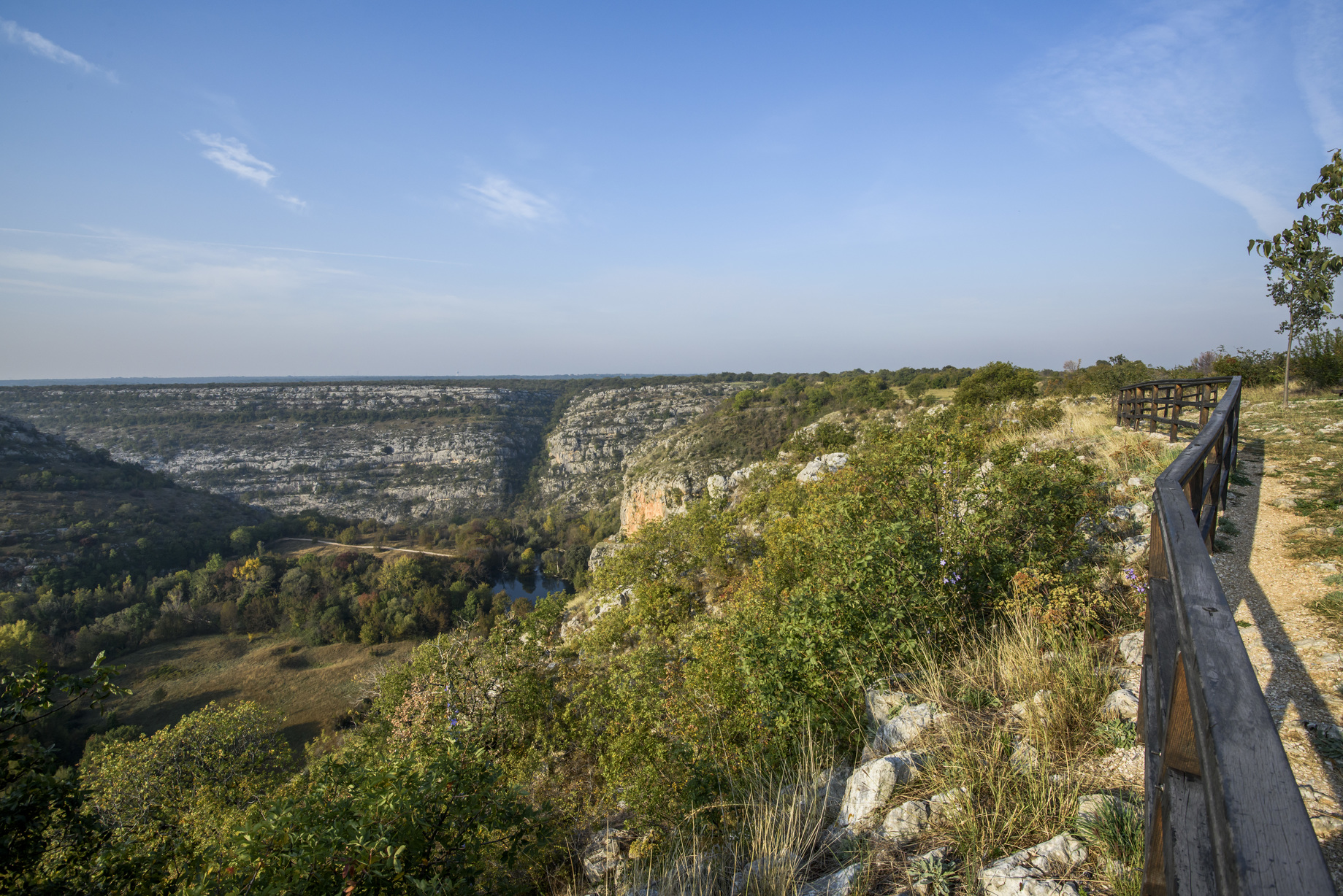
The crossing over the Krka River at Brljan was part of a network of Roman roads, and historical assumptions suggest that Emperor Trajan also passed this way during his campaign against the Dacians. In the immediate vicinity of the viewpoint are the remains of Burnum, a Roman military camp and settlement, while on the left bank, in Puljani, you can see traces of a prehistoric hillfort that was the center of the Liburnian community of the Burnistae. For centuries, this area served as a border and a point of control over movements within the canyon.
From the viewpoint, you can observe the sub-Mediterranean vegetation surrounding former watermills, pastures, and cultivated fields. In this section, the flow of the Krka becomes calmer, and the view is dominated by Brljan Lake, also known as Ćorića Lake or Bjelober. The lake was formed by the construction of a dam that impounds the river for 1.3 kilometers, with a width reaching up to 400 meters. The Brljan waterfall itself is unique in that it dries up during the warmer part of the year due to natural processes and human intervention.
The area around the viewpoint is set up as a rest stop, allowing visitors to take in the vast open space below the switchbacks on the Bukovica side. The ambiance exudes history and tranquility, providing insight into the former connection between ancient settlements and the natural environment. Today, Brljan is an essential stop for understanding historical communication routes and the transformation of the river landscape over the centuries.


